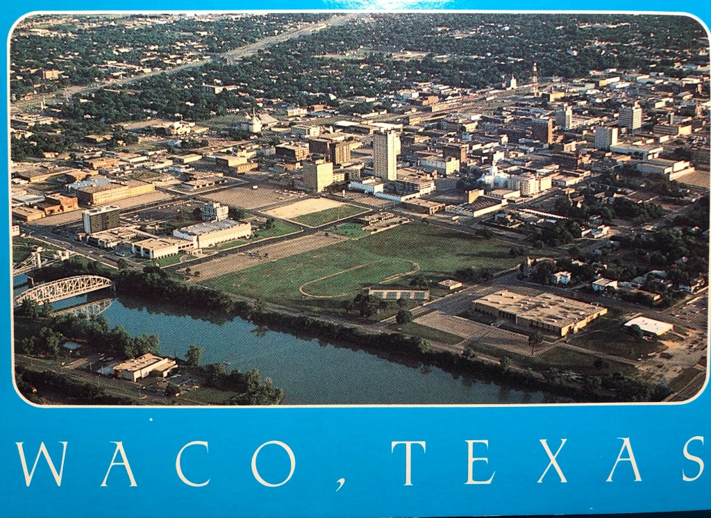
Waco, Texas
Two Aerial Views of Downtown
These two postcard photos of aerial views of Downtown Waco were taken by Chuck Hatler. Notice that the S. 100 block and N. 100 block between 2nd, 3rd, and 4th Streets are bare except for City Hall. The buildings from the square have been removed. I’m not sure of the year, but Urban Renewal removed the buildings in the Square in 1970-71, and the Hilton was built in 1981.
The postcard backs both say:
“Waco was established by the Huaco Indians in 1844 and grew as a frontier and plantation trading center. During the post-Civil War cattle drives, Waco‘s location on one of the Chisholm Trails, along with the establishment of three railroads, developed its position as a distribution center for Central Texas. Waco’s strategic location has made the area a center for distribution, trade, banking, and general commerce. Photo by Chuck Hatler.”
These two postcards are from our personal collection.